
Table of Contents
Cape Wrath
There is a reason Cape Wrath carries its name. Long before it became a byword for remoteness, Norse sailors called this headland “Hvarf,” meaning turning point, because it marked the spot where they changed course on their voyages around Scotland. Today it still marks a kind of turning point for travelers, since Cape Wrath sits at the most north-westerly tip of the British mainland, cut off from the rest of Sutherland by the Kyle of Durness and a stretch of open moorland with no public road.
Getting there takes effort. There is no bridge, no direct road, and for several months of the year the crossing simply does not run. That is part of the appeal. Visitors who make the journey are rewarded with some of the highest sea cliffs in mainland Britain, a lighthouse built in 1828, and a silence that is hard to find anywhere else in the UK.
This guide covers everything worth knowing before setting off: how the ferry and minibus system works, what the lighthouse and cliffs are actually like, when to time a visit, the walking routes in the area, and what to pack for a day that can shift from sunshine to horizontal rain within the hour. Whether the plan is a short return trip from Durness or the final stretch of the long-distance Cape Wrath Trail, this article should help set realistic expectations for one of Scotland’s most memorable days out.
Why Visit Cape Wrath?
Cape Wrath’s appeal is its sense of scale and isolation. Standing at the lighthouse, the next landmass in that direction is effectively open Atlantic all the way to Canada. The surrounding landscape is raw moorland and bog, largely untouched because a large section of the peninsula has been used by the Ministry of Defence as a live firing range for decades, which has kept development away entirely.
Nearby, the Clo Mor cliffs rise to roughly 280 metres, among the highest sea cliffs on the British mainland, and are home to breeding seabirds including puffins, guillemots and skuas in the summer months. The lighthouse itself, designed by Robert Stevenson, has stood watch over this stretch of coastline for close to two centuries. For travelers who enjoy places that feel genuinely off the beaten track rather than just marketed that way, Cape Wrath delivers.
How to Get to Cape Wrath
There is no public road to Cape Wrath, and private cars cannot make the crossing. The standard route starts at Keoldale, just south of Durness, where a small passenger ferry crosses the Kyle of Durness. Cars are left in the car park at Keoldale; only foot passengers and bicycles travel on the boat.
On the far side, a licensed minibus covers the roughly 11-mile track out to the lighthouse, a bumpy but scenic ride that typically takes about an hour each way. Combined with time at the lighthouse, a full round trip usually takes somewhere in the region of four to six hours. Both the ferry and the minibus generally operate seasonally, from around May to September, and both are weather and tide dependent, so it is worth checking directly with the operators before setting off. Booking the minibus ahead is strongly recommended in peak season, since space is limited and demand often outstrips it.
MOD Range Restrictions
A significant part of Cape Wrath is used by the Ministry of Defence for live firing exercises, and access is closed completely when the range is active. Red warning flags mark closures, and neither the ferry nor the minibus will operate on those days. It is worth checking the current firing schedule before traveling to Durness, particularly if a visit is planned around a specific date, since cancellations at short notice do happen.
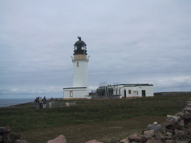
Cape Wrath Lighthouse and the Clo Mor Cliffs
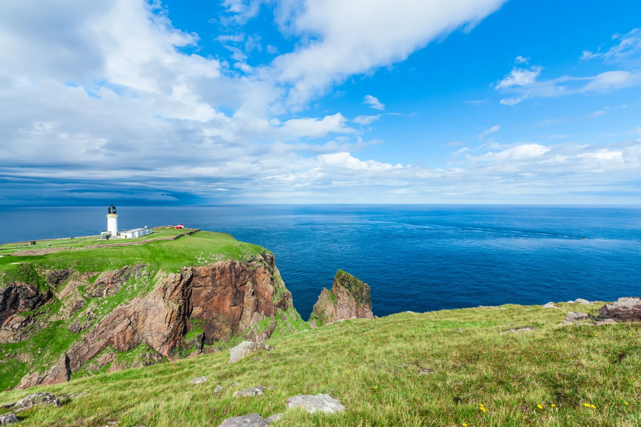
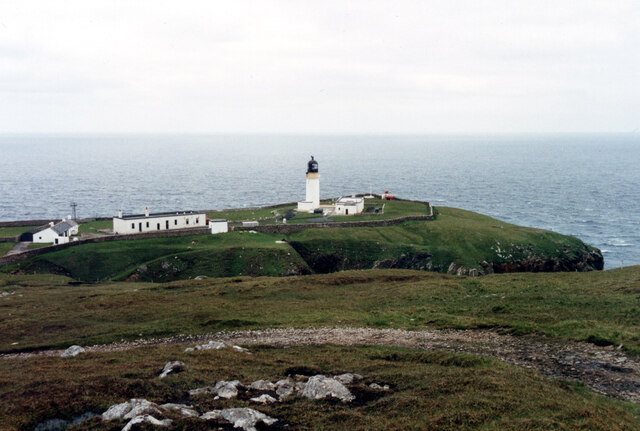
The lighthouse marks the literal end of the road and is the main destination for most visitors. It is not open to the public inside, but its position on the clifftop, framed by the open Atlantic, makes it a striking sight regardless. Nearby stand the former signal station buildings once used by Lloyd’s of London for ship-to-shore communication, an unusual survivor of a system that has mostly disappeared elsewhere in Britain.
A short walk from the lighthouse leads towards the Clo Mor cliffs, among the tallest sea cliffs on the UK mainland. In late spring and summer these cliffs host large numbers of nesting seabirds, and calm days offer some of the best coastal views in the north Highlands. Sturdy footwear is essential, as the ground near the cliff edge is uneven and unfenced in most places.
Best Time to Visit Cape Wrath
The ferry and minibus services generally run from May to September, which effectively sets the visiting window for most travelers. Within that period, early and late summer tend to bring the calmest weather and the longest daylight, useful given how much of the day is spent traveling. June through August also coincides with the seabird breeding season on the Clo Mor cliffs, which is a strong reason to visit at that time.
Outside the operating season, Cape Wrath is really only reachable on foot for experienced hillwalkers, and even then, MOD activity can restrict access. Weather at this exposed headland can change quickly at any time of year, so a fine forecast in Durness does not guarantee the same conditions once out on the peninsula.
| Information | Details |
|---|---|
| Best time to visit | May to September (seasonal ferry and minibus) |
| Visit length | Approximately 4–6 hours round trip |
| Best for | Remote coastal scenery, seabirds, lighthouse history |
| Access | Ferry from Keoldale, then minibus or on foot |
| Difficulty | Easy at the lighthouse; strenuous for the coastal trail |
Walking and Hiking Around Cape Wrath
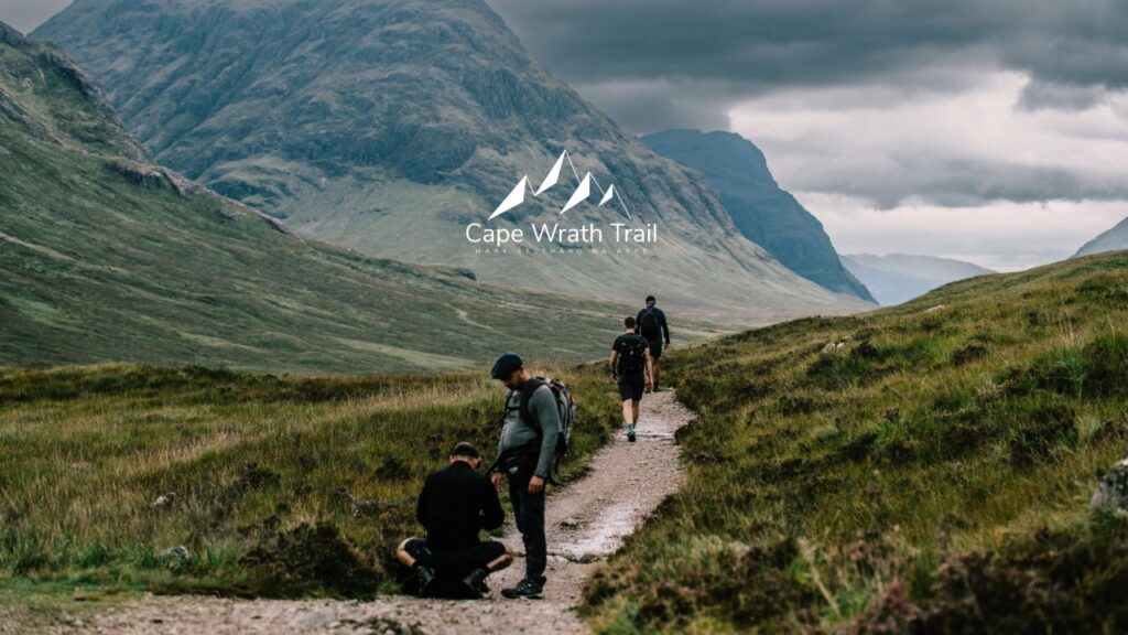
For hikers, Cape Wrath is best known as the finishing point of the Cape Wrath Trail, a long and demanding unofficial route running the length of Scotland from Fort William. Completing it requires considerable backcountry experience, since much of the terrain is pathless and remote.
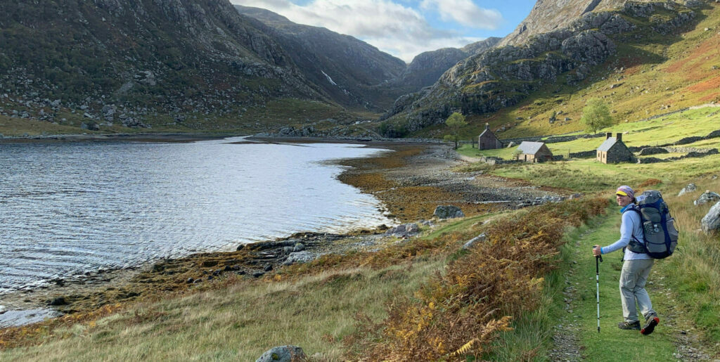
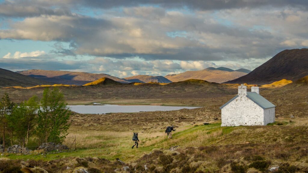
A more accessible option is the coastal walk between Cape Wrath and Sandwood Bay, one of Scotland’s most photographed beaches. This route follows the same rough vehicle track used by the minibus for part of the way and passes Kearvaig Bothy, a basic remote shelter near a sandy cove. It is a serious undertaking rather than a casual stroll, with boggy sections and no facilities along the way, so proper planning, a map, and suitable clothing are essential regardless of season.
Wildlife, Weather and What to Pack
Wildlife around Cape Wrath includes breeding seabirds on the Clo Mor cliffs, along with the chance of spotting red deer on the moorland approach. The surrounding waters occasionally bring sightings of dolphins or minke whales, though nothing is guaranteed.
Weather is the defining factor of any visit. Cape Wrath is fully exposed to the Atlantic, and wind, rain and sudden cloud can arrive with little warning even on an otherwise clear day. Waterproof layers, sturdy walking shoes, and warm clothing are worth carrying regardless of the forecast in Durness. There is little to no mobile signal once away from the village, and facilities at the lighthouse are limited to a small seasonal café, so it is sensible to bring food, water and cash, since card payment cannot be relied on this far from anywhere.
Where to Stay Near Cape Wrath
Since there is no accommodation on the Cape Wrath peninsula itself, Durness is the natural base for most visitors. The village has a handful of guesthouses, self-catering cottages, a hostel and a campsite, making it manageable to arrange a stay even at short notice outside peak summer weekends. Staying overnight in Durness also allows more flexibility around ferry times and weather delays, which is useful given how dependent the crossing is on conditions.
For those hiking in from Sandwood Bay or along the Cape Wrath Trail, Kinlochbervie and Rhiconich to the south offer additional options, along with the bothy at Kearvaig for those equipped for a wild camp or bothy stay along the coastal route.
FAQ
Can you drive to Cape Wrath?
No. There is no public road connecting Cape Wrath to the rest of the mainland. Visitors must cross the Kyle of Durness by ferry, then continue by minibus, bicycle or on foot along the rough track to the lighthouse.
Why is Cape Wrath sometimes closed?
A large section of the peninsula is used by the Ministry of Defence for live firing exercises. When the range is active, access is closed to the public and marked with red warning flags until it reopens.
How long does a trip to Cape Wrath take?
A typical round trip from Durness, including the ferry crossing, minibus journey and time at the lighthouse, takes roughly four to six hours, depending on weather and how long visitors choose to stay.
Is Cape Wrath suitable for families?
The lighthouse area itself is manageable for most fitness levels, though the ground is uneven and unfenced near the cliffs. The long minibus journey and lack of facilities are worth considering for younger children.
What is the Cape Wrath Trail?
It is a demanding, mostly unofficial long-distance hiking route running from Fort William to Cape Wrath, popular with experienced backpackers but requiring strong navigation skills and self-sufficiency.
Conclusion
Cape Wrath rewards the effort it takes to reach it. Between the ferry crossing, the bumpy minibus track and the seasonal restrictions around MOD firing schedules, it is not a spontaneous day trip, but for travelers willing to plan ahead, it offers a genuinely wild corner of Scotland that few ever see. Whether the goal is a short visit to the lighthouse and Clo Mor cliffs or the final leg of a much longer hiking trail, checking ferry and minibus availability in advance is the single most useful step before setting off. Base the trip around Durness, pack for changeable weather, and allow a full day for the journey out and back.