
Table of Contents
Simonside Hills
Rising sharply above the small market town of Rothbury, the Simonside Hills are one of Northumberland’s most distinctive landmarks. This ridge of weathered sandstone crags sits inside the Northumberland National Park, and despite a modest height, it feels wilder and more dramatic than the numbers suggest. Walkers come here for sweeping views across Coquetdale to the Cheviot Hills, for the eerie folklore attached to the crags, and for the ancient rock art scattered across the lower slopes.
The Simonside Hills aren’t a single peak but a short ridge, with well-marked paths that suit everyone from families out for a couple of hours to hikers wanting a fuller day combining the summit with nearby Lordenshaws hillfort. The going is generally straightforward, though the terrain can turn muddy and uneven after rain, so proper footwear matters more than fitness here.
This guide covers what you need to know before setting off: where to park, which routes work best, how long to allow, and what else is worth seeing nearby. Whether you’re planning a quick there-and-back to the summit or a longer loop taking in the rock art at Lordenshaws, you’ll find the practical detail here to plan your visit with confidence.
Why Visit the Simonside Hills?
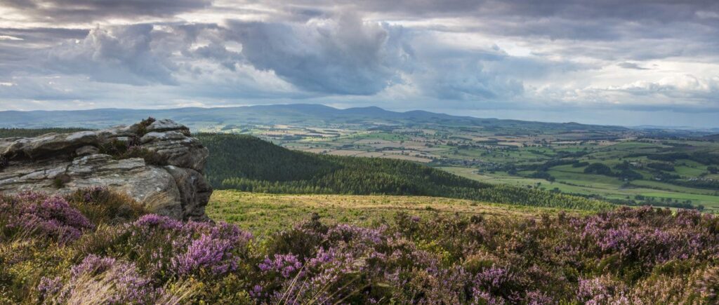
The appeal of the Simonside Hills lies in the contrast between their size and their character. The ridge rises sharply above Rothbury, formed from craggy sandstone tops that feel far wilder than their modest height suggests. From the top, the view stretches across the whole of Coquetdale to the Cheviot Hills, and on a clear day reaches out to the Northumberland coast. Paths UnseenPaths Unseen
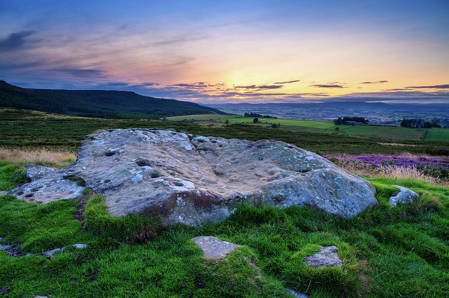
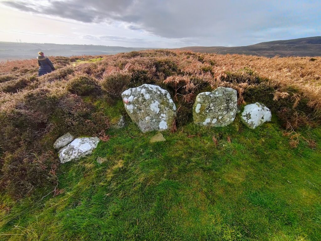
Beyond the scenery, there’s a genuine sense of history. The lower slopes at Lordenshaws hold some of the finest prehistoric rock art in England, cup-and-ring carvings cut into the stone around 4,000 years ago, alongside the remains of an Iron Age hillfort. The crags themselves carry their own folklore too, long linked to the “duergar,” malevolent dwarves said to haunt the hills after dark, which adds an extra layer of atmosphere to an already striking landscape. Paths Unseen
Best Walks and Routes
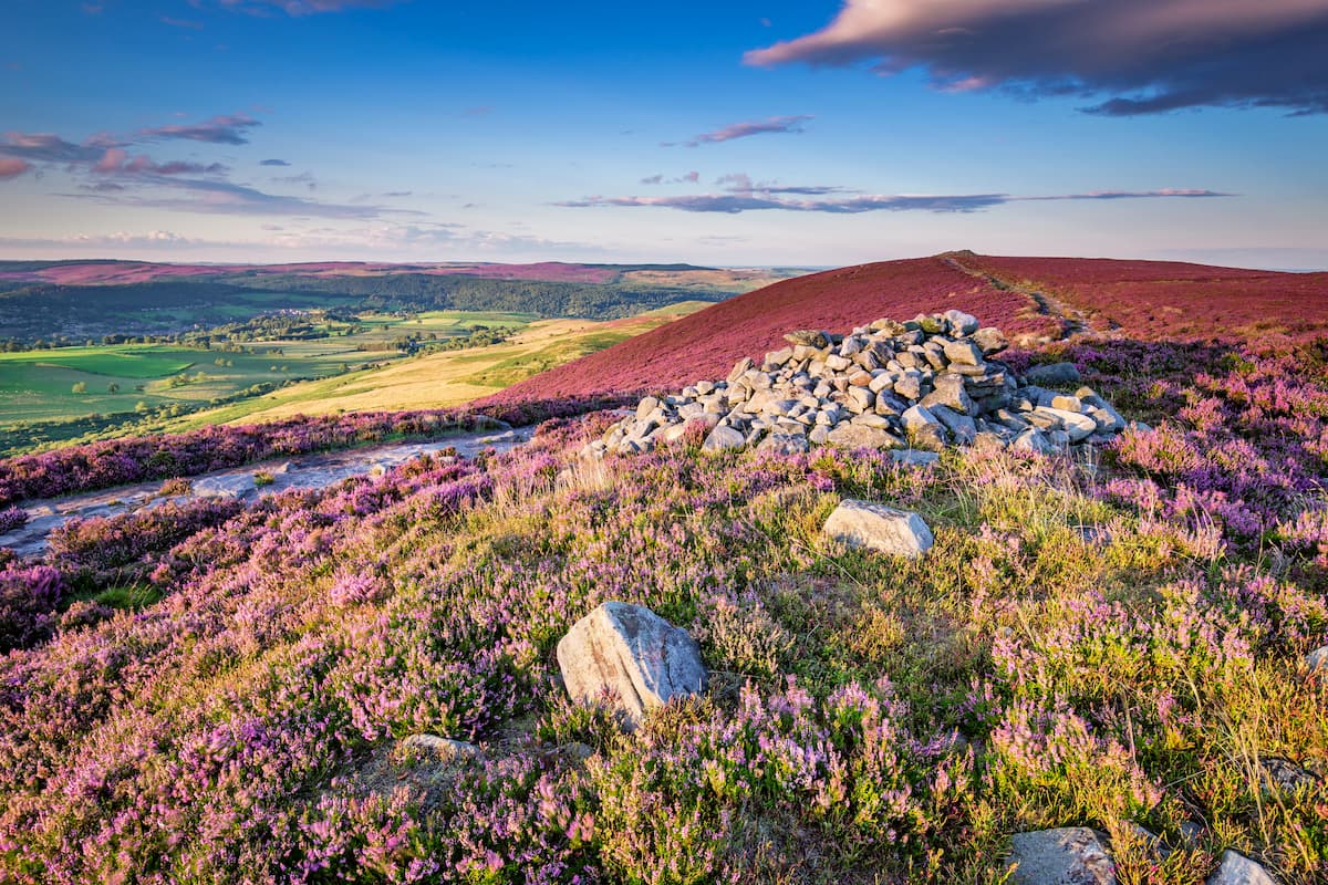
Most visitors follow a circular route from the main car park, climbing through forest before breaking onto open moorland. A typical route ascends steeply to the summit cairn, then follows the ridge past Old Stell Crag and on to Dove Crag, before descending across the moor back to a road and car park. Walking Britain
For a shorter option, several routes run out and back from the Lordenshaws car park, climbing steadily to the skyline along an obvious path. This works well if rock art and the hillfort are your priority rather than the full ridge. Walking Britain
Longer days are possible too. One popular route climbs to the 430-metre summit before descending towards Harwood Forest and picking up St Oswald’s Way back to the car park, with the option to extend onto Tosson Hill, the highest point in the range. Expect roughly three to four hours for the full ridge walk, less for a summit-only there-and-back. GPS Routes
Parking and Getting There
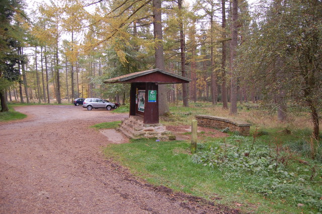
The main starting point is the Forestry England car park below the hills, reached via a minor road south of Rothbury. From Rothbury, the route follows the B6342 south for around three miles before a signposted turn towards Lordenshaws, with the car park a further two miles on. Parking here is free. Hiking Photographer
There’s also a second option at Lordenshaws car park itself, useful if you want to begin with the rock art before tackling the ridge. Be aware that the trailhead parking can get busy, so arriving early is worth doing, especially at weekends. 10Adventures
If you don’t have a car, buses run to Rothbury from Newcastle, Morpeth and Alnwick, though walking from Rothbury to the hills themselves adds roughly four miles to the day. Roads leading in are narrow and rural, shared with sheep and farm traffic, so drive carefully on the approach. While I’m Young
What to Expect Underfoot
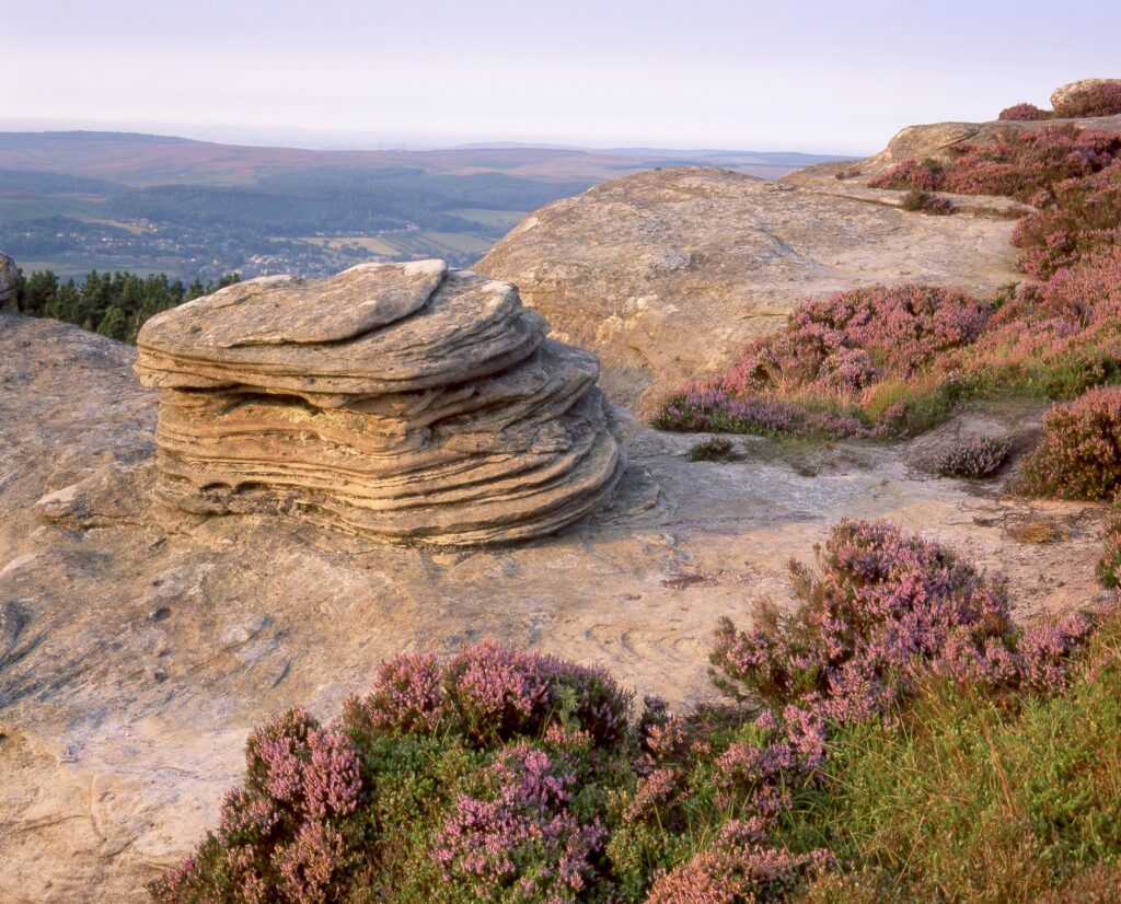
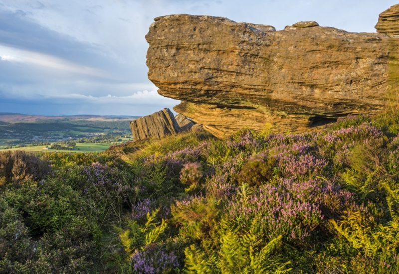
The paths through Simonside mix forest track, stone steps and open moorland, and conditions change a lot with the weather. After heavy rain the trail can be muddy and even flooded in places, so proper hiking boots are strongly recommended rather than optional. Some sections are genuinely rugged, running through woodland, over rocky crags and across moor-covered ground. While I’m Young10Adventures
None of this makes the walk technical, but it does mean casual footwear isn’t a good idea. Layers are worth packing too, since the exposed ridge can feel considerably colder and windier than the forested lower sections, whatever the forecast says in Rothbury itself.
Facilities and What to Bring
Facilities at Simonside are minimal, which is part of its appeal but worth planning around. There are no toilets and no visitor centre on site, so use facilities in Rothbury before setting off. There’s nowhere to buy food or drink either, so bring your own water and snacks for the walk. While I’m YoungHiking Photographer
Mobile signal on the exposed ridge can be patchy in places, so it’s worth downloading or printing a route map rather than relying solely on a phone. A basic list for the day:
- Sturdy walking boots
- Waterproof layers, even on a dry-looking day
- Water and snacks
- A paper map or downloaded route
- Sun protection in summer months
Family and Dog-Friendly Notes
Simonside works well as a family walk, provided you choose the right route for the group. The main circular route has been described as manageable for a range of ages, from young children through to older walkers, with just one significant uphill stretch to the summit and ridge. Hiking Photographer
For families with younger children, starting from Lordenshaws and focusing on the rock art rather than the full ridge keeps distances shorter and terrain gentler. Dogs are generally welcome on the open access land and forest paths, though as with any moorland walk, keep them under control near livestock and ground-nesting birds, particularly in spring.
Nearby Places Worth Combining
Simonside sits within easy reach of several other worthwhile stops, making it simple to build into a longer day out. Rothbury itself, a small market town on the River Coquet, makes a natural base with places to eat and pick up supplies before or after the walk.
Cragside Country Park lies just a few miles away and pairs well with a Simonside walk if you have a full day to spare. History fans should also make time for Lordenshaws hillfort and its rock carvings even if not doing the full ridge, and Great Tosson’s pele tower adds another point of historical interest nearby. GPS RoutesWalking Britain
FAQ
How long does the Simonside Hills walk take?
Most circular routes take three to four hours, depending on which car park you start from and whether you extend onto Tosson Hill. A shorter out-and-back to the summit from Lordenshaws can be done in under two hours.
Is Simonside Hills suitable for beginners?
Yes, with the right route. The main circular walk is manageable for most fitness levels, though the terrain is uneven and can be muddy, so beginners should stick to the well-marked paths and wear proper boots.
Is parking free at Simonside Hills?
Yes, parking at both the main Forestry England car park and the Lordenshaws car park is free. Arrive early on weekends, as spaces fill up quickly during busy periods.
Are there toilets at Simonside Hills?
No, there are no toilet facilities or visitor centre at the trailhead or along the route. Use facilities in Rothbury before setting off.
Can you see rock art at Simonside Hills?
Yes. The Lordenshaws area holds prehistoric cup-and-ring carvings alongside an Iron Age hillfort, and it’s an easy, worthwhile detour whether or not you do the full ridge walk.
Conclusion
The Simonside Hills offer one of Northumberland’s most rewarding short walks, combining big ridge views over Coquetdale with genuine history at Lordenshaws and a landscape that feels wilder than its height suggests. With free parking, well-marked paths, and route options ranging from a quick summit climb to a full day linking Tosson Hill and Harwood Forest, there’s a version of this walk for most levels of walker. Pack proper boots, bring your own food and water, and check conditions before you go, since the exposed ridge can turn wet and windy fast. However you approach it, Simonside rewards the effort with some of the finest views in the National Park.