
Table of Contents
Harthope Valley
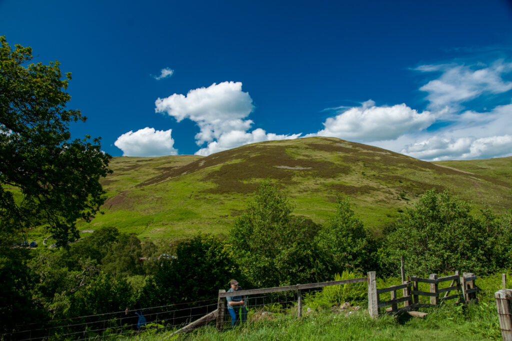
Harthope Valley sits south-west of Wooler, cut through by the Harthope Burn as it flows down from the high slopes of the Cheviot Hills. It’s one of the quieter corners of Northumberland National Park, with no villages along its length, only scattered farms reached by a single narrow road that climbs gradually towards Langleeford. For walkers and birdwatchers, that quietness is exactly the appeal.
The valley has drawn visitors for centuries. Sir Walter Scott and Daniel Defoe both wrote about the area, and today it remains a starting point for some of Northumberland’s best-known hill walks, including the route up The Cheviot itself, the county’s highest point at 815 metres. But Harthope Valley isn’t only for serious hillwalkers. Lower down, grassy areas fringed with alder woodland along the burn make it a good spot for a shorter walk or a picnic, without needing to tackle the higher ground at all.
This guide covers what to expect from a visit to Harthope Valley, from the walking routes and wildlife to practical details on parking, access, and the best time to go. Whether the plan is a full day on The Cheviot or a gentler afternoon following the burn, the valley offers a genuine sense of remoteness that’s increasingly hard to find within a short drive of a market town like Wooler.
Why Visit Harthope Valley?
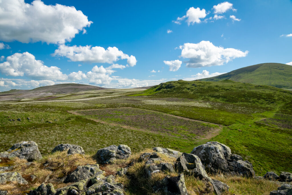
Harthope Valley offers a contrast that’s rare in Northumberland: low-level burnside walking alongside access to genuinely wild, high moorland. The valley itself feels intimate and sheltered, with the Harthope Burn running through grassy flats and alder woodland, while the surrounding hills give it a sense of drama and scale.
It’s also one of the best wildlife-watching spots in the Cheviots. The valley is a favourite with birdwatchers, and species recorded here include curlews, stonechats, meadow pipits, whinchats, skylarks, buzzards, and occasionally merlins. Adders are sometimes seen basking on the track in warmer weather, so it’s worth watching where you step. With no villages and few other visitors on the single access road, Harthope Valley suits travellers looking to get away from busier honeypot locations elsewhere in the National Park.
Best Walks and Hikes in Harthope Valley
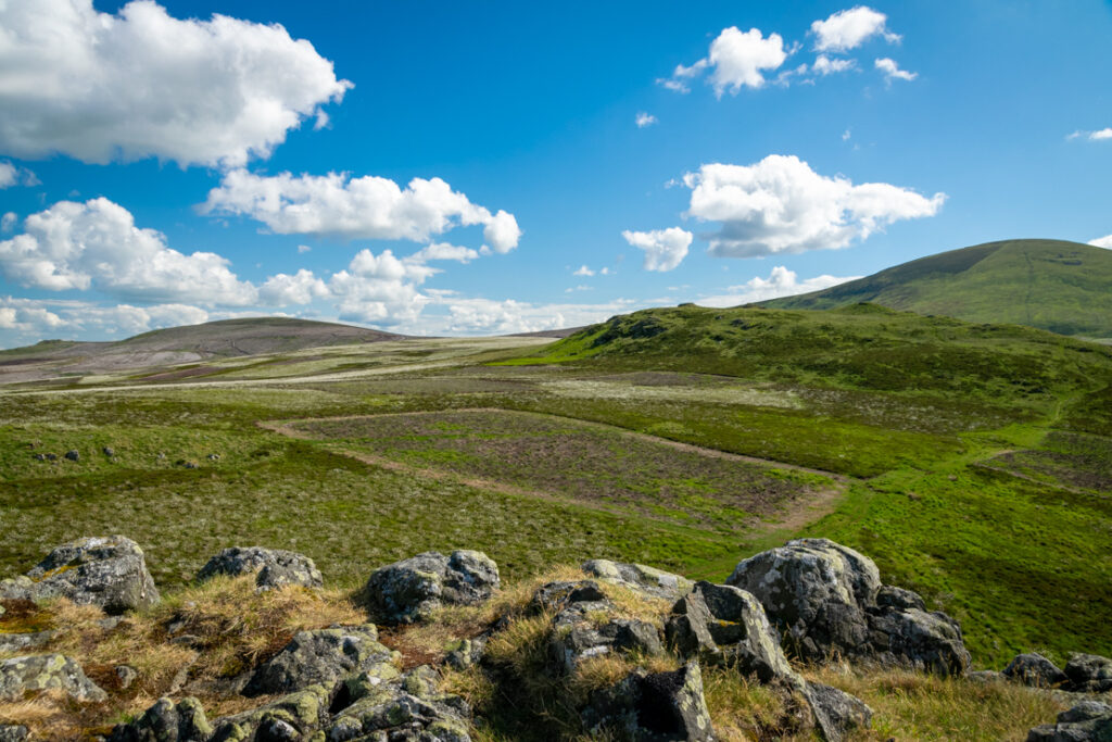
The valley is best known as a starting point for the walk up The Cheviot, Northumberland’s highest hill at 815 metres. Routes typically begin at Langleeford, where the public road ends, and follow the Harthope Burn upstream before climbing onto the surrounding ridges. Many walkers extend the route into a circuit taking in Scald Hill, Hedgehope Hill, Cairn Hill, and Comb Fell, crossing genuinely remote and often boggy moorland along the way.
The Cheviot Circular Route
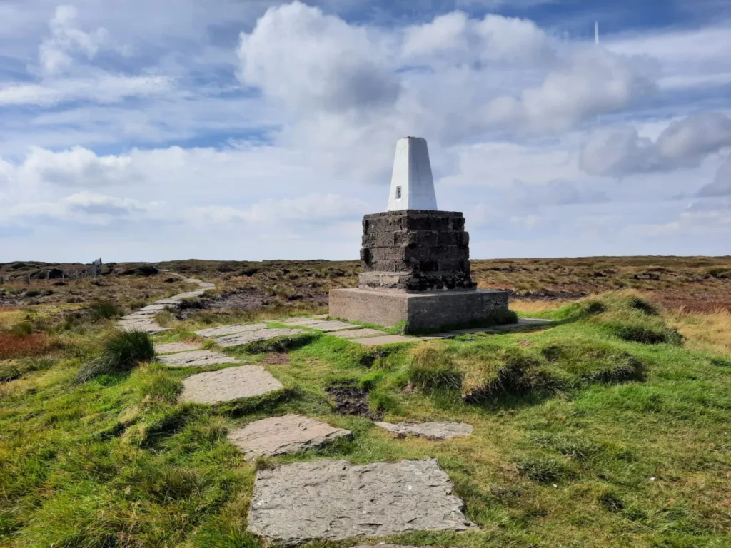
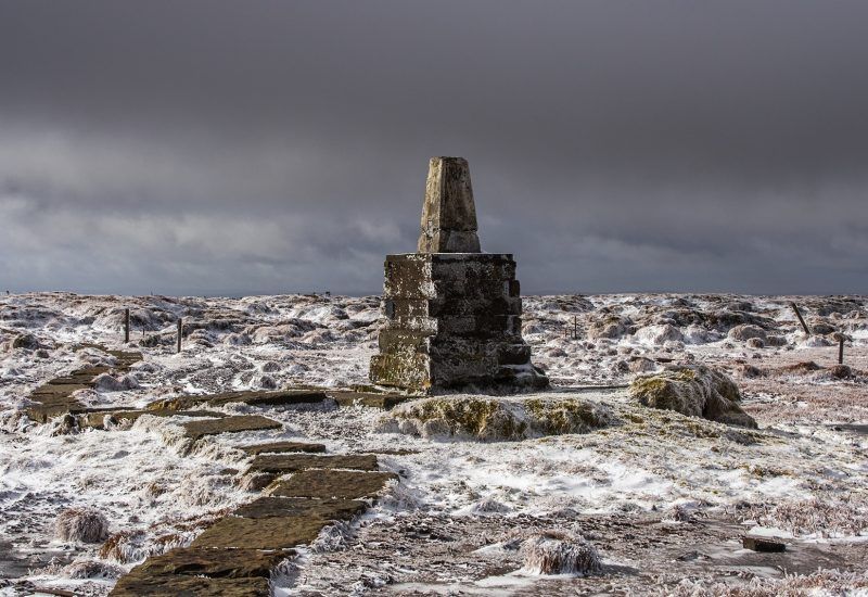
This is a strenuous, full-day route that links several summits around the head of the valley. The ground underfoot is frequently wet and peaty, particularly near the top of The Cheviot, where erosion from decades of foot traffic has left exposed peat that the National Park has worked to restore. A map, compass, and appropriate hillwalking experience are recommended, as weather on the tops can change quickly even when conditions lower in the valley seem mild.
For those not aiming for the summit, the lower valley around Langleeford and the Harthope Burn offers an easier, shorter walk through alder woodland and open grassland, following the water rather than climbing onto the fells.
Best Time to Visit Harthope Valley
Harthope Valley can be visited throughout the year, though conditions vary considerably by season. Spring and early summer bring nesting birds to the valley, making this a good period for birdwatching. Summer offers the longest daylight hours for tackling the full Cheviot circuit, though the boggy sections can still be wet regardless of season.
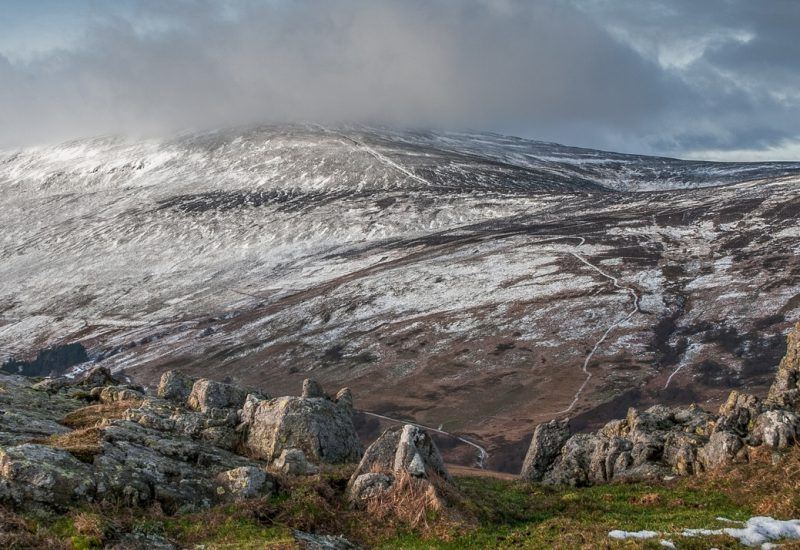
Winter walking on the higher ground demands more caution. Snow can settle on The Cheviot and the surrounding summits even when the valley floor is clear, and short daylight hours limit the time available for longer routes. Anyone planning to walk the higher hills outside the summer months should check weather and ground conditions before setting out, and be prepared for conditions to differ significantly from those at the roadside.
How to Get to Harthope Valley
Harthope Valley is reached from Wooler, a market town in north Northumberland. From Newcastle, the route follows the A697 to Wooler. From the town centre, Cheviot Street leads south-west out towards the valley via Earle and Middleton Hall, following the single road that runs alongside the Harthope Burn as far as Langleeford.
There is no public transport running into the valley itself, so a car is generally necessary to reach the walking routes described above. The road narrows as it climbs, with passing places rather than a continuous two-lane surface, so a measured pace is worth adopting, particularly during busier weekends.
Parking in Harthope Valley
Parking within the valley is limited and informal rather than in a dedicated car park. Space is available near the top end of the road, close to where the public road reaches its limit for vehicles, with a further flat area nearby that’s sometimes used as overflow. Because parking is constrained, arriving earlier in the day is sensible, especially in summer or at weekends when demand for space is higher. As with much of the National Park, please park considerately and avoid blocking passing places or farm access.
Wildlife and Nature Along the Burn
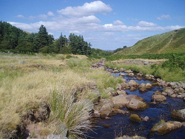
Beyond the birdlife already mentioned, Harthope Valley’s landscape is shaped by its position within Northumberland National Park, with the burn itself forming part of a longer waterway system. Below Langleeford, the Harthope Burn continues down to meet the Carey Burn, and the combined waters go on to form the Wooler Water, a tributary of the River Till. The whole stretch of the Harthope Burn lies within the National Park boundary until this confluence.
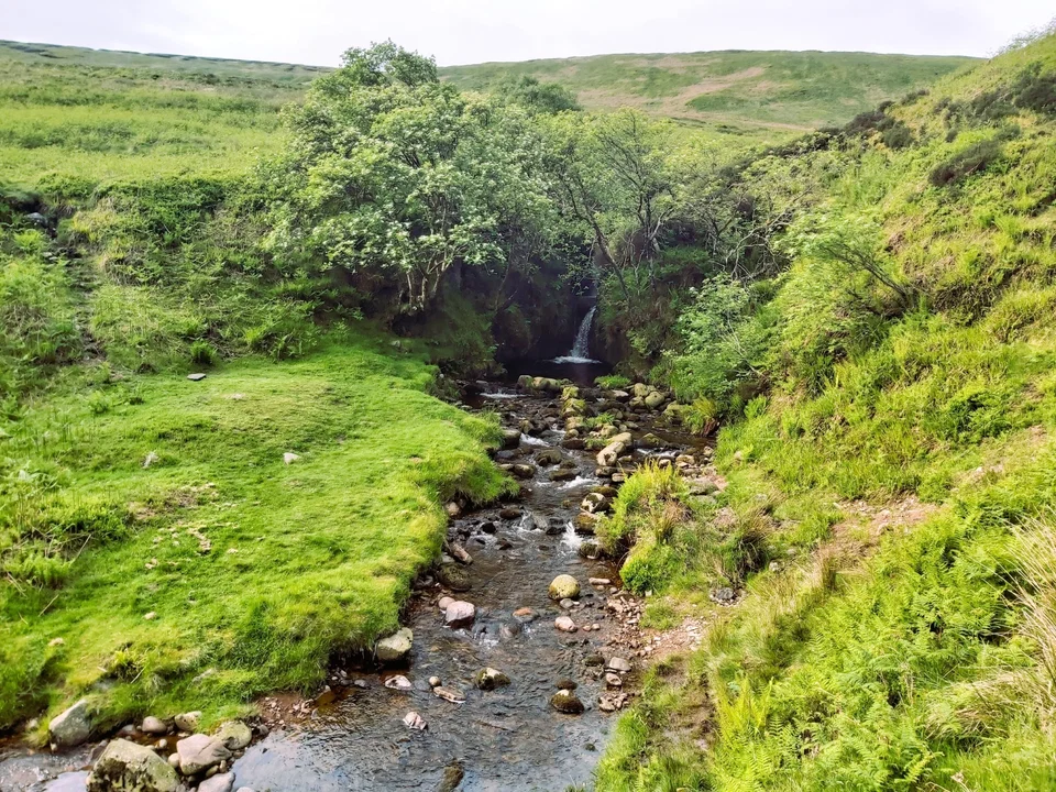
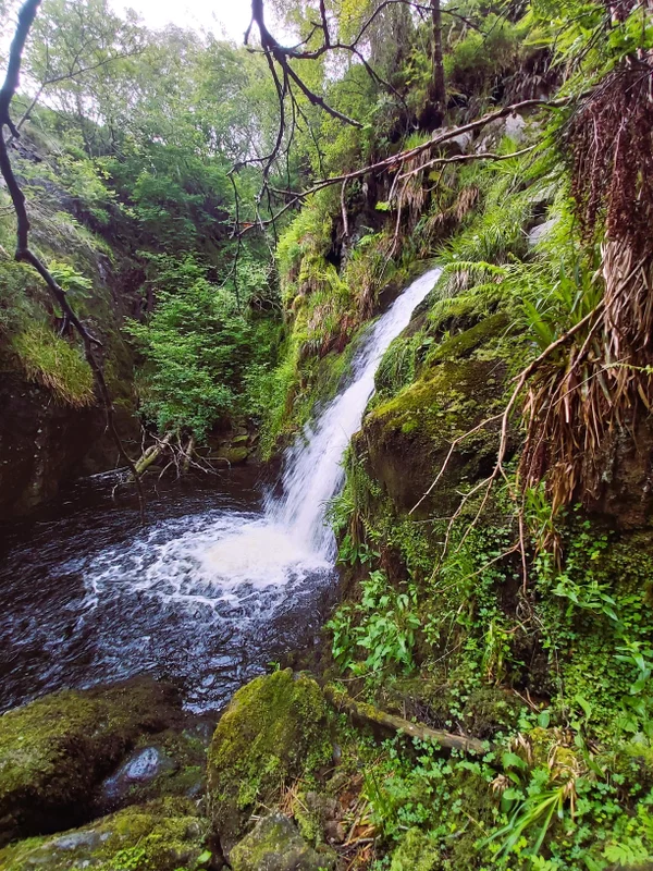
The alder woodland fringing the lower valley provides shelter for wildlife and a pleasant, shaded contrast to the open moorland further up. This lower section is also where the Harthope Linn, a waterfall on the burn, can be found on the approach to Langleeford Hope.
What to Know Before Visiting
Facilities in Harthope Valley itself are minimal, in keeping with its remote character. There are no shops, cafes, or public toilets along the road, so visitors should plan to arrive prepared, particularly if heading up onto the higher hills. Mobile signal is unreliable in much of the valley and largely absent on the higher ground, so a map and compass remain more dependable than relying on a phone for navigation.
The Pennine Way passes near the head of the valley, and walkers following that long-distance route sometimes descend into Harthope Valley as part of their journey. Given the boggy terrain across much of the upper valley and surrounding fells, sturdy waterproof footwear is essential for anyone heading beyond the lower burnside paths.
| Information | Details |
|---|---|
| Best time to visit | Spring to autumn for easier walking conditions; check weather for winter visits |
| Nearest town | Wooler |
| Parking | Limited, informal parking near Langleeford; arrive early |
| Difficulty | Lower valley: easy; higher routes (The Cheviot): strenuous |
| Best for | Birdwatchers, hillwalkers, quiet countryside walks |
FAQ
Is Harthope Valley good for beginners?
The lower valley around Langleeford is suitable for less experienced walkers, following the burn through easy, mostly flat terrain. The higher routes onto The Cheviot and surrounding hills are strenuous and better suited to experienced hillwalkers.
How long does the walk up The Cheviot take?
Walking times vary depending on route and pace, but a full circuit taking in surrounding summits is a demanding full-day undertaking. Always allow extra time for weather, navigation, and rest stops.
Is Harthope Valley dog-friendly?
Northumberland National Park generally welcomes dogs on public paths, though they should be kept under control, particularly near livestock and ground-nesting birds. Check current National Park guidance before visiting.
Where does the Harthope Valley road end?
The public road follows the Harthope Burn and ends at Langleeford, beyond which routes continue on foot.
Are there facilities in Harthope Valley?
No, there are no shops, cafes, or toilets within the valley itself. Visitors should prepare in Wooler before setting out.
Conclusion
Harthope Valley offers something increasingly rare in Northumberland: genuine quiet, set against a backdrop of wild moorland and grazing farmland. Whether the goal is a gentle walk beside the Harthope Burn or a full day tackling The Cheviot and its neighbouring summits, the valley rewards those willing to prepare properly for its remoteness. Limited parking, minimal facilities, and unpredictable weather on the higher ground all mean planning matters here more than in busier parts of the National Park. For travellers looking to combine wildlife watching with serious hillwalking, or simply an escape from more crowded trails, Harthope Valley is well worth the drive out from Wooler.