
Table of Contents
Rhinog Mountains
If you want to see Eryri (Snowdonia) without the crowds, the Rhinog Mountains are one of the best places to go. Tucked between Harlech and Trawsfynydd on the western edge of the national park, the Rhinogydd, as they’re known in Welsh, are famous for being rough, trackless and largely untouched by tourism. There’s no visitor centre, no waymarked summit path, and no queue for the top.
The Rhinog Mountains are made up of a chain of rocky peaks running roughly north to south, with Rhinog Fawr and Rhinog Fach as the best-known summits. The terrain is a mix of heather, bracken and jumbled boulder fields left behind by glaciers, which makes walking here slower and more demanding than in the more popular parts of Snowdonia. That’s exactly why serious hikers love it.
This guide covers the practical side of visiting the Rhinog Mountains: which walks to choose, how to get there, when to go, and what you need to know before setting off. Whether you’re planning a single day hike to Rhinog Fawr or a longer route through Cwm Bychan and the Roman Steps, you’ll find the groundwork here to plan a safe and rewarding trip into one of Wales’s last real wildernesses.
Why Visit the Rhinog Mountains?
The main appeal of the Rhinog Mountains is solitude. While Yr Wyddfa (Snowdon) and the Glyderau see heavy footfall year-round, the Rhinogydd stay quiet even on a summer weekend. You’re likely to have entire ridgelines to yourself.
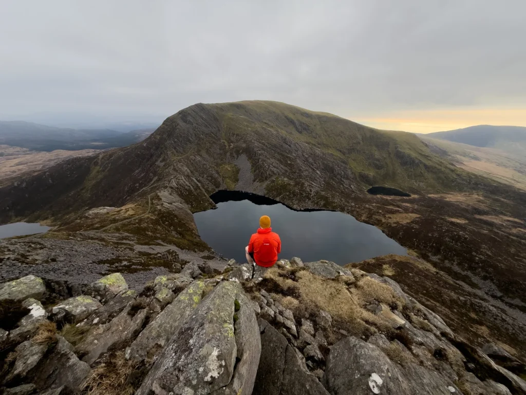
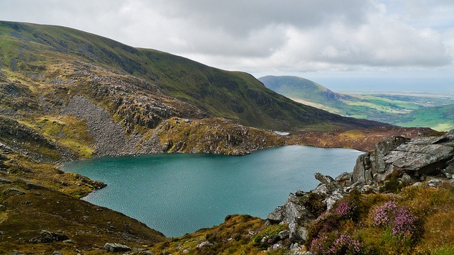
The scenery is dramatic rather than pretty. Expect dark, weathered rock, glacial lakes tucked into hollows, and views stretching from Cardigan Bay to the Cambrian Mountains on a clear day. The range also holds genuine ecological interest, with ancient oak woodland, upland heath and ling heather that turns the hillsides purple in late summer.
For hikers who’ve done the more manicured Welsh classics, the Rhinog Mountains offer something rawer. It’s a range that rewards navigation skills and preparation, and that sense of earned achievement is part of the draw for many walkers who return here again and again.
Best Walks and Hikes in the Rhinogydd
Most routes into the Rhinog Mountains start from Cwm Bychan or Cwm Nantcol, two valleys on the western side of the range. From either, you can reach the main ridge and link summits depending on your fitness and time available.
Paths are often faint or nonexistent once you leave the valley floor, so a map, compass and the confidence to use them are essential rather than optional. Distances that look short on a map can take far longer than expected because of the broken ground underfoot.
Rhinog Fawr and Rhinog Fach
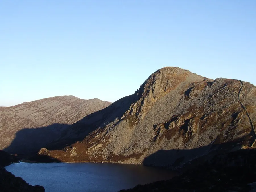
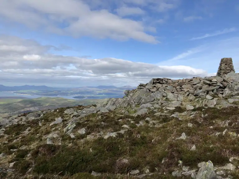
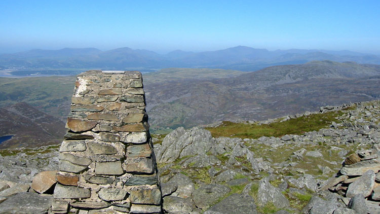
Rhinog Fawr (720m) and Rhinog Fach (712m) are the range’s two principal summits and the natural focus for most day walks. The classic route climbs from Cwm Bychan past Llyn Cwm Bychan, tackles the steep, rocky ascent onto Rhinog Fawr, then continues south along the ridge to Rhinog Fach, passing the lake of Llyn Hywel below the col between the two peaks. This is a full, strenuous day out and should only be attempted by hikers comfortable with scrambling sections and rough terrain.
The Roman Steps and Cwm Bychan
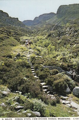
The Roman Steps are the most well-known feature in the Rhinog Mountains and a good option if you want a taste of the range without a full mountain day. Despite the name, the stone causeway is now generally understood to be medieval rather than Roman, likely built as a packhorse route linking Harlech to the Vale of Ffestiniog.
The path climbs steadily from the car park at Cwm Bychan through oak woodland before opening onto the moorland below Rhinog Fawr, reaching the pass of Bwlch Tyddiad. It’s a well-defined route by Rhinog standards, making it a popular choice for walkers who want a shorter, waymarked introduction to the area before committing to the higher, pathless ground above.
How to Get There and Parking
The Rhinog Mountains sit within Eryri National Park, between the coastal towns of Harlech and Barmouth. Driving is by far the easiest way to reach the trailheads, since public transport in this part of Gwynedd is limited and doesn’t run close to the main starting points.
For Cwm Bychan, you’ll turn inland from Llanbedr and follow narrow country lanes to a small car park at the road end. For Cwm Nantcol, the approach is from Llanbedr or Llanenddwyn via similarly narrow lanes. Both roads are single-track in places with passing points, so allow extra time and drive carefully, particularly in poor weather. There is no fuel, shop or facility at either trailhead, so arrive prepared.
Best Time to Visit
Late spring through early autumn is the most practical window for tackling the Rhinog Mountains, when daylight hours are longer and the ground, while still rough, is at its driest. Summer also brings out the heather in full colour across the lower slopes.
Winter walking here is for experienced mountain hikers only. Navigation becomes significantly harder when paths disappear under snow or low cloud, and the boulder fields become genuinely hazardous when wet or icy. Even outside winter, the Rhinogydd catch weather quickly, so check a mountain-specific forecast rather than a general one before setting out, and be ready to turn back if conditions close in.
Where to Stay Nearby
Harlech and Barmouth are the two main bases for exploring the Rhinog Mountains, both offering a range of guesthouses, hotels and self-catering options within a short drive of the trailheads. Harlech has the advantage of being closer to Cwm Bychan and also gives you easy access to Harlech Castle and the coast.
Smaller villages such as Llanbedr and Dyffryn Ardudwy sit right at the foot of the range and suit walkers who want to start early without a long drive. There are also campsites scattered through this part of Gwynedd, appealing to those combining a Rhinog Mountains trip with a wider Snowdonia itinerary.
What to Know Before You Go
The Rhinog Mountains are not a beginner’s range. The terrain is genuinely tougher than the distances suggest, and mobile signal is patchy to non-existent across much of the higher ground, so don’t rely on your phone for navigation or emergency contact once you’re away from the valleys.
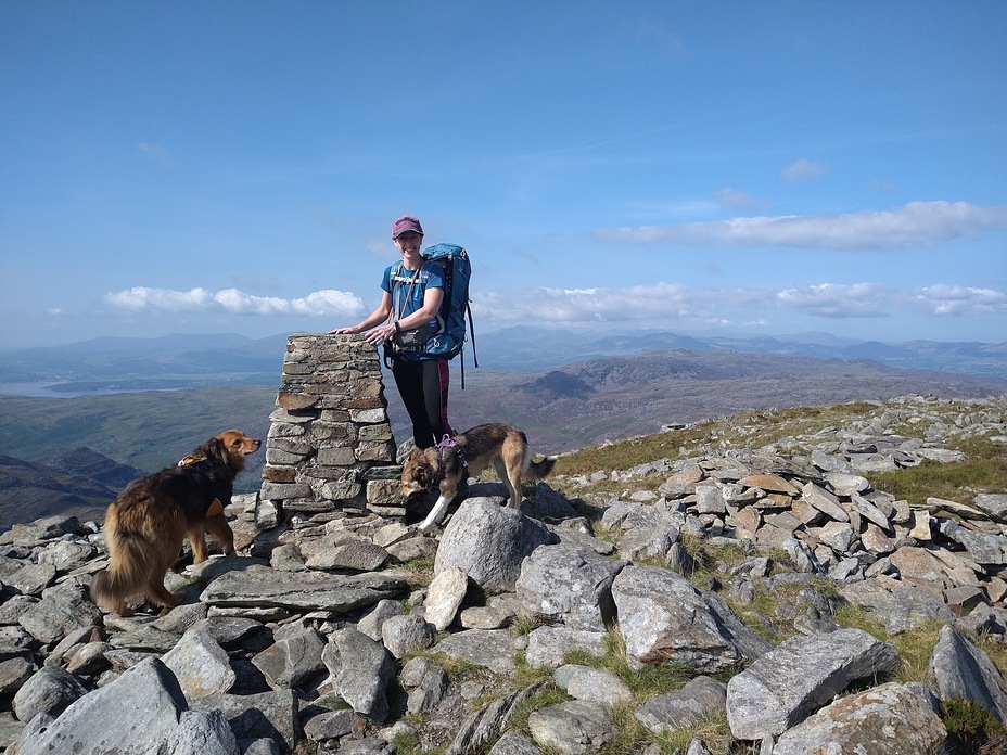
Dogs are welcome on the hills, but the rocky, uneven ground and occasional scrambling sections make some routes unsuitable for older or less agile animals. There are no toilets or facilities at any of the trailheads, so plan accordingly before you leave your accommodation.
Safety and Terrain
Because so much of the Rhinog Mountains lacks a clear path, mountain leaders regularly rank this as one of the more serious ranges in Wales for navigation. Always carry a paper map and compass as backup to any GPS device, tell someone your planned route and expected return time, and pack proper waterproofs and sturdy boots regardless of the season. Sudden weather changes are common, and the boulder-strewn slopes are unforgiving underfoot in poor visibility.
| Information | Details |
|---|---|
| Best time to visit | Late spring to early autumn |
| Typical visit length | Half day (Roman Steps) to full day (Rhinog Fawr/Fach) |
| Best for | Experienced hikers and navigators |
| Parking | Small car parks at Cwm Bychan and Cwm Nantcol |
| Difficulty | Strenuous; largely pathless terrain |
FAQ
Are the Rhinog Mountains suitable for beginners?
Not really. Paths are often faint or absent, and the ground is rocky and uneven throughout. Beginners are better suited to the Roman Steps route, which is clearer and shorter than a full ridge walk.
How difficult is the walk to Rhinog Fawr?
It’s a strenuous, pathless climb with sections of scrambling. Good fitness, navigation skills and proper footwear are essential, and it typically takes a full day when combined with Rhinog Fach.
Is there parking at the Rhinog Mountains trailheads?
Yes, small car parks exist at Cwm Bychan and Cwm Nantcol, the two main starting points. Both are reached via narrow single-track lanes.
Can you camp in the Rhinog Mountains?
Wild camping is a long-standing tradition in parts of Eryri, though rules can vary and change. Always check current local guidance before planning an overnight stay.
What is the best base for visiting the Rhinog Mountains?
Harlech and Barmouth are the most popular bases, both offering easy access to the trailheads along with wider Snowdonia and coastal attractions.
Conclusion
The Rhinog Mountains reward hikers who want something wilder than the well-trodden Snowdonia classics. Between the challenge of Rhinog Fawr and Rhinog Fach, the more accessible Roman Steps route, and the sheer quiet of the surrounding valleys, there’s a route here for different levels of ambition, as long as you respect the terrain and come prepared.
Plan around settled weather, carry proper navigation tools, and base yourself in Harlech or Barmouth for easy access to the trailheads. Do that, and a trip to the Rhinog Mountains offers one of the most rewarding, least crowded hiking experiences left in Wales.